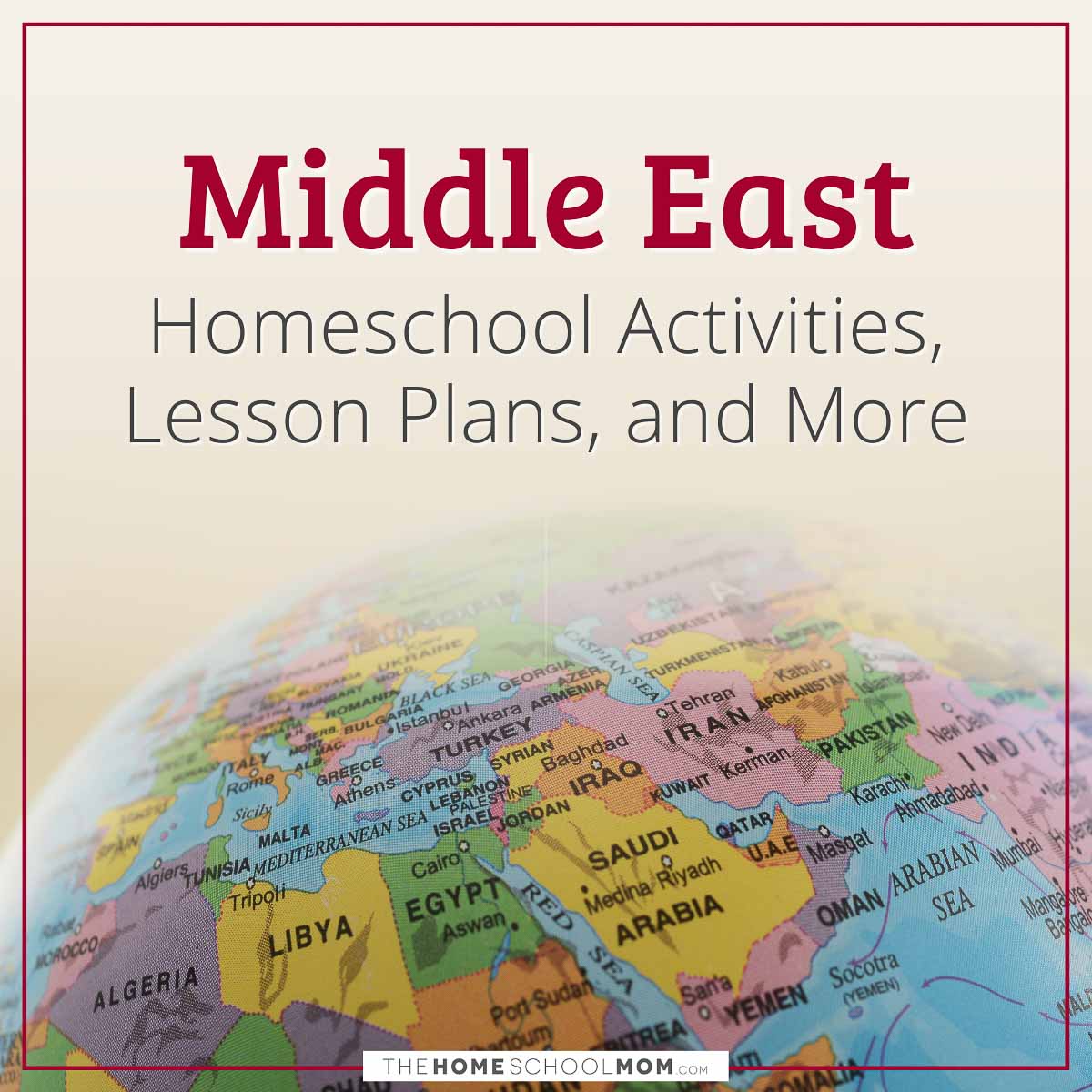
The Middle East is a region made up of 17-20 countries and territories in Asia, but can also include Egypt. It is generally considered to be the area between the Mediterranean Sea, the Caspian Sea, and the Arabian Sea.
- Y—Young (PreK-3rd)
- M—Middle (4th-6th)
- O—Older (7th-12th)
- T—Teacher Resources
Middle East Maps & Printables
From Enchanted Learning
Geography: An Ancient and Modern Crossroads
PBS lesson about the Middle East
Teaching the Middle East
From the Oriental Institute of the University of Chicago, Teaching the Middle East is organized into modules, each with an introductory essay, "Framing the Issues" and "Examining Sterotypes" sections, an extensive image bank, and more. The site is very easy to use with well thought out organization.

7 Top Classroom Resources for Teaching Syria
Help your students understand the situation in Syria and what role the U.S. may play in its future with these resources, including an article, four lesson plans, a resource page and a cheat sheet.
Middle East: Map & Geography Information
Dawn
Online version of the Pakistani English language newspaper
Al Jazeera
Online English language version of the popular Middle Eastern TV station
Islam
An excellent resource from PBS that explores the history and practice of Islam


